

How Surveying Supports the Transition From Development Plans to Physical Construction in Edmonton
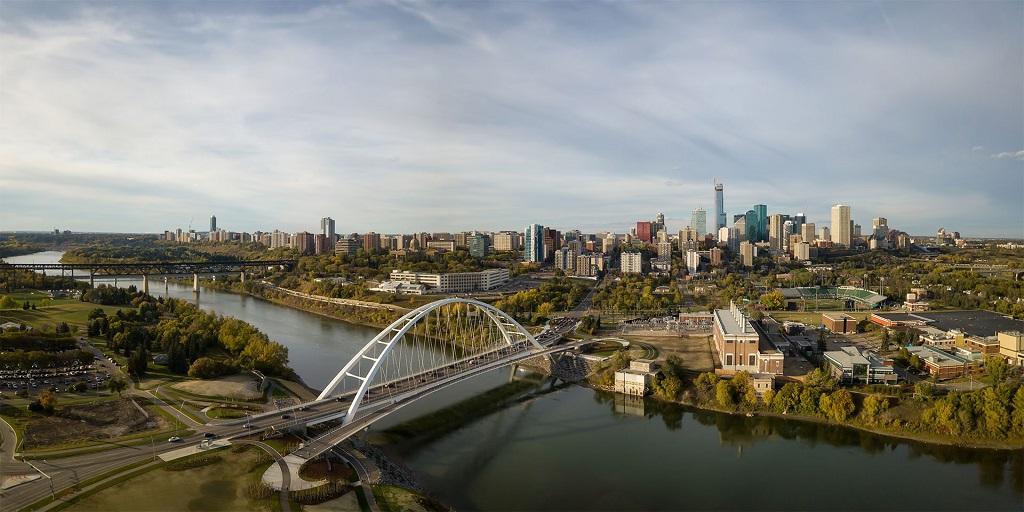
Moving from a development concept to physical construction requires more than finalized architectural and engineering drawings. The information contained in those plans must be accurately transferred to the ground so that structures and site improvements are positioned as intended. An Edmonton Survey Company can play an important role during this transition by establishing reliable reference points, confirming locations and elevations, and providing measurements that connect design information with existing site conditions. This coordination helps project teams maintain consistency between what was approved, what was designed and what is ultimately constructed.
Establishing the Construction Reference
Before construction begins, project teams need a dependable spatial reference for translating drawings into physical locations. Surveying can establish control points and other reference information that allows construction personnel to locate proposed improvements accurately on the site. This becomes particularly important where several structures, access routes or site features must fit within defined boundaries. Existing property conditions can also affect how construction is positioned. Establishing an accurate reference at the outset gives builders a practical connection between project drawings and the physical site.
Translating Plans Into Physical Locations
Architectural drawings describe proposed structures, while engineering plans may establish grades, alignments and other technical requirements. Surveying helps translate these design elements into measurable positions on the ground. An Edmonton Survey Company may be involved in setting out building corners, foundation locations, grades or other construction points according to the requirements of the project. In many situations, this work requires coordination among surveyors, engineers, architects and contractors so that everyone is working from consistent information. Accurate layout reduces the possibility that construction will gradually deviate from the intended design.
Accounting for Existing Site Conditions
Construction rarely takes place on a completely blank site. Existing buildings, utilities, grades, property boundaries and neighbouring improvements can all influence how proposed work is positioned. Survey information can help project teams compare the approved design with measurable conditions before and during construction. A common challenge arises when conditions on the ground differ from assumptions made during earlier planning. Identifying discrepancies early gives the relevant professionals an opportunity to assess their implications before construction advances to a stage where changes become more disruptive.
Maintaining Accuracy as Construction Progresses
Surveying is not necessarily limited to the initial layout. As construction progresses, additional measurements may be required to verify positions, elevations and relationships between completed and proposed elements. This can be especially important on larger or technically complex developments where several construction stages depend on one another. Regular surveying information can provide project teams with an objective reference for checking whether work corresponds with design requirements. Where adjustments are necessary, accurate measurements can help establish the nature and extent of the discrepancy, supporting informed decisions before subsequent construction activities proceed.
Connecting Construction With Final Documentation
The transition from plans to construction does not end when the major structural work is complete. Survey information can also contribute to documenting what has actually been constructed, depending on project requirements. An Edmonton Survey Company can provide measurements that help establish the locations and elevations of completed improvements for relevant records and future planning. For property owners, developers and municipalities, maintaining reliable spatial information creates a useful record of the completed development. Ultimately, surveying provides an important link between design intent and physical reality, helping construction teams maintain accuracy while creating dependable information for the property's future.
For More Information About Environmental Assessment BC and Land Survey Saskatchewan Please Visit: Connexa Group.

 English
 Arabic
 French
 Spanish
 Portuguese
 Turkish
 Dutch
 Italiano
 Russian
 Romaian
 Portuguese (Brazil)
 Greek